
Search Davison Township Streets by Situs
Use the physical, assessed location first. Davison Township treats the parcel card and subdivision plat as its core property records, while Genesee County holds the deed index and map resources. A street directory search can establish several different facts, but each fact needs its source and date. The assessor's owner of record is not proof of occupancy, a deed recording date is not a move-in date, and a directory entry reflects its publication period. Record the street spelling, house number, civil jurisdiction, parcel ID, and the date each result was obtained.
- Ask the Davison Township Assessing Department for the parcel card or inspect it at the township. Confirm the situs address, parcel ID, legal description, owner of record, and tax mailing address separately.
- Use the Genesee County GIS page to reach county parcel resources. If the public viewer is available, click the target parcel and then the adjacent parcels on both sides of the street.
- Search the owner or prior party through the Genesee Register of Deeds self-service index. Match the legal description before treating an address match as the same land.
- For voter status, use the official Michigan Voter Information Center for an individual status question, or make a narrow voter-record request through the proper Michigan FOIA channel.
- When the question is historical occupancy, ask Davison Area Library or GDL for reverse and city-directory holdings. The Davison Township city directory collections explain the dated address-to-name trail.
Keep the results as a small record packet rather than one combined list of names. That makes it clear which source supports ownership, parcel geometry, a recorded transfer, or a dated household reference.
Davison Township Address Parcel Cards
The township, not the City of Davison, is the first custodian for a Davison Township parcel. Its assessing department maintains a property record card for every parcel and subdivision plat maps. The research did not verify a public online owner-search form for the township, so a phone call, counter inspection, email, or a focused records request is the reliable route. The assessor phone is 810-653-4156, prompt 4. The township indicates that ordinary record production typically takes two to five business days.
Ask what date the card is current through, and ask the assessor to distinguish the values and transfer information on the card from the recorded deed. The Genesee County BS&A entry visibly offers Address, Name, Parcel Number, Detailed Record Search, and Delinquent Tax Search. Its coverage of every Davison Township parcel was not verified, so treat it as a county search option to test, not a promise of a township-wide street directory.
| Assessor field | Status | How to use it |
|---|---|---|
| Property or situs address | Request or inspect | Identifies the physical parcel being assessed. |
| Owner name | Counter search; online form unverified | Start a deed search, but do not assume occupancy. |
| Parcel number | Request or inspect | Connects the card, map, plats, and deed research. |
| Mailing address | Result field | Shows where tax notices go, which may be an agent, lender, or family contact. |
| Legal description and values | Result field | Use the lot, block, or metes-and-bounds description to verify the land. |
The BS&A county search screen shows the address, name, and parcel-number choices available at that entry point.
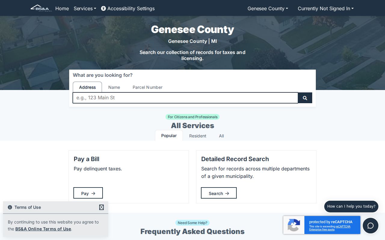
Its visible search choices are useful leads, but a returned record still needs a Davison Township coverage check and a comparison with the assessor's card.
- Parcel
- A defined unit of land used by the assessor and GIS. Its ID helps match the card to the mapped property.
- Situs address
- The physical property location used for mapping and assessment. It can differ from where notices are mailed.
- Plat
- A recorded subdivision map that identifies roads, lots, and blocks. It helps verify land when an address is incomplete.
- Criss-cross directory
- A historical address-to-name directory. It can suggest a past household for its publication period, not a current resident.
Davison Township Street GIS Parcels
County GIS is the parcel-geometry step in a by-address search. Search the target location when the viewer is available, select the parcel, capture its ID and boundaries, then pan to the next parcels and intersections. Preserve the map date and any print or export date. The official county GIS page is known, but the research could not confirm the exact public parcel-viewer address or the controls exposed to the public. If the viewer is unavailable, request a parcel map from GIS or Equalization instead of substituting an unrelated map.
The township maps page and zoning material supply useful land-use orientation. They do not identify residents. Township, city, and postal boundaries can meet near the same road, so confirm jurisdiction before sending a request to an assessor or clerk.
Genesee County's GIS entry page points to parcel and data resources for a street-level lookup.
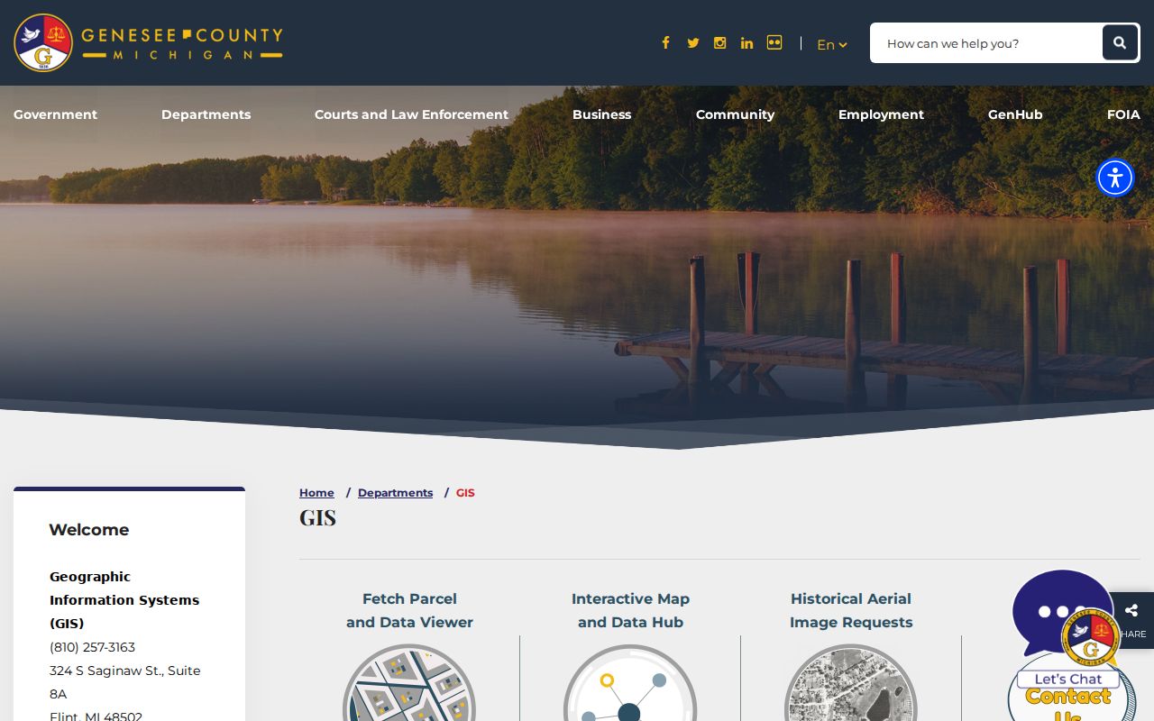
Use a GIS parcel as geographic evidence only. A shared boundary does not show that two owners know each other or that either person lives on the parcel.
Davison Township Street Deeds
Deeds are indexed by parties and recorded instruments, not reliably by a street address. Start with the parcel's legal description and current owner. Search that owner as a grantee, inspect the purchase deed for the grantor and any prior instrument reference, then search the seller as a prior grantee. A plat's lot and block or a metes-and-bounds description helps when the street label is missing or has changed.
Genesee County says ordinary self-service does not make records before 1983 available online. For an older trail, use the county's Historical Index Book Search guide, request the older books or images, or work at the Register of Deeds office. The historical guides use document codes such as DE, DEGR, DEGE, and MTG. A book and page, also called Liber/Page, can take the researcher from an index entry to the correct image. Older images may still be unindexed.
Genesee County Official Records Self-Service is the modern starting point for recorded property instruments.
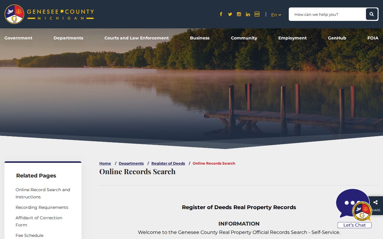
A street directory can use a deed to identify a recorded ownership event, but the deed should not be relabeled as proof of a present-day resident.
Davison Township Street Records
The strongest address record changes with the question. The parcel card answers who the assessor lists as owner. GIS shows the physical parcel and nearby lots. The Register of Deeds supplies recorded instruments. Planning records can document an address-specific project, and voter records may connect a registered name to a residence subject to statutory redactions. A street directory gains accuracy when it keeps those roles apart.
| Address record | Davison-area keeper | Useful result | Access route |
|---|---|---|---|
| Parcel card and plat | Davison Township Assessing | Owner, situs, mailing address, parcel, legal description | Counter, phone, email, or records request |
| Parcel map | Genesee GIS | Geometry, road labels, parcel IDs, and jurisdiction | County GIS page, viewer if available, or map request |
| Deed or mortgage | Genesee Register of Deeds | Parties, instrument, recording date, book/page, image | Self-service for ordinary modern search; historical route or counter for older work |
| Voter record | Michigan Department of State or local clerk | Non-exempt registration information | MVIC status lookup or narrowly described FOIA request |
| Permit or zoning file | Davison Township Planning and Building | Address, project, applicant, inspection, or site-plan evidence | Planning request or FOIA; no public case index verified |
Parcel ID and legal description are the most stable joins. A street name can cross jurisdictions, and a rural or historic address may be indexed by a route, section, or subdivision rather than its current form.
Use every documented access channel when a search fails. The assessor can provide or explain the parcel card. GIS or Equalization can provide map guidance when the viewer is unavailable. The Register of Deeds offers ordinary self-service for the modern index, a separate historical-book route for older work, and office assistance for images and books. Planning can locate a described permit file, and the library can help with dated reverse directories. Each office should receive the narrowest address, parcel, date, or legal-description request possible.
Davison Township Address Permits
The township Planning and Building office lists permit and planning categories that can create useful dated evidence at an address. They include additions, accessory buildings, decks, demolition, finished basements, pools, remodeling, roofs, signs, solar work, site plans, rezonings, and zoning-board matters. Such a file may identify an applicant or owner, but it does not prove that work was finished or that the named person lived there.
No searchable township permit or code-case index was verified. Ask Planning for the permit file or available current and prior-year lists, then use the township FOIA process for a sufficiently described public record when needed. Note: A zoning designation describes land use, not a household.
Davison Township Voter Addresses
Michigan voter-registration records are public through FOIA, but they are not an unrestricted street roster. A produced record must withhold or redact sensitive fields, including driver or state-ID numbers, month and day of birth, phone, email, digitized signature, last four Social Security digits, intake-office details, refusal information, and Address Confidentiality Program applications. The public MVIC is a status lookup, while a full-file question belongs in a properly scoped request to the Michigan Department of State or the relevant custodian.
A voter address can support a dated registration lead. It cannot establish every household member, every occupant, or a private relationship among people at an address. Davison Township's Clerk handles local registration and absentee matters; Genesee County Elections and the state FOIA channels provide separate record paths.
Davison Township Historic Street Names
Older street research has a local naming trap. Historical records can use Middlebury, Davison, Davisonville, or Atlas, with the Atlas name associated with an 1870 change prompted by confusion with Davisonville. Search the alternate place names in historical newspapers, atlases, directories, and deeds, then verify the Genesee location. No official source located a township street-renumbering year, so do not invent a conversion date.
For earlier land context, the Library of Michigan's Genesee guide identifies the Beers 1873 atlas and later plat-book material. An atlas owner is a historical lead, not a current ownership result. Pair it with the parcel's legal description and a dated public record.
Davison Township Deed Record Numbers
County records-management planning describes roughly 85,000 deed documents each year and more than 35,000 vital copies, with public-access digitization from 1970 forward. That scale explains why an image can exist without being easy to find by name. The Register of Deeds warning about the pre-1983 online cutoff still controls the street research path, so use the historical index, office images, and Liber/Page references when a modern search stops.
For a reproducible result, write down the instrument type, party spelling, recording date, document number or Liber/Page, parcel ID, source office, and copy-request date. A card or map can change after a transfer, while a recorded document keeps its own event date. That log also makes later corrections easier to trace.
Davison Township Street Directory Limits
Address records stop at clear privacy and evidence boundaries. Public sources do not create a complete list of nonregistered people, household members, utility customers, protected ACP voters, sealed adoption or juvenile matters, or DMV addresses. A listed owner can be absent, and an old directory listing can be obsolete. Preserve source dates and roles instead of turning several partial records into a claim about who lives on a street now.
Lawful use. Davison Township address records are for personal, lawful research and civic or family-history questions. Do not use them to stalk, harass, intimidate, or harm any person.