
Davison Township Neighbor Sources
Public records can describe the block around a Davison Township address, but each source has a narrow purpose. Start with geography. The Genesee County parcel layer can identify contiguous polygons, road access, and civil jurisdiction. The township assessor's card then supplies owner-of-record fields and distinguishes a mailing address from the parcel's situs. Recorded deeds extend ownership history. Voter, directory, permit, and civic sources add limited context. A parcel boundary is not proof that two people know each other or live in the same household.
| Source | What It Shows About a Block | Access |
|---|---|---|
| Genesee County GIS | Physical parcel neighbors, IDs, road access, and jurisdiction | County viewer or request; the exact public viewer URL was not exposed in research |
| Davison Township assessor cards | Owner, parcel values, mailing and situs distinction, and exemptions | Assessor counter or targeted records request; no whole-street online search was verified |
| Genesee deeds | Ownership chronology for an individual neighboring parcel | Modern online, historical route, or office counter; ordinary online search has a pre-1983 gap |
| Voter records | Registration information at public residential addresses, subject to redaction | MVIC status route or narrowly scoped QVF FOIA request |
| Historic reverse directories | Address-to-occupant evidence at a publication date | Library catalog, microfilm, or local-history referral |
| Planning and civic sources | Development, zoning, public contacts, and historical organization context | Township planning request, Chamber, DDA, library, and historical-society referral |
The first question is whether the target falls in Davison Township or the nearby City of Davison. Postal labels can cross civil boundaries. Capture the map date, jurisdiction, and parcel ID before seeking a card or deed. That simple record trail makes a later correction possible.
Map Davison Township Neighbors Parcel by Parcel
The official Genesee County GIS Department is the starting point, although research did not expose a live public viewer link or exact adjacent-parcel controls. Find the target by address or parcel ID when the viewer provides that option. Select the target polygon, then click or pan to each touching parcel. If the viewer is unavailable, ask GIS or Equalization for a parcel map and use the township's street and zoning maps only as orientation.
- Record the target's parcel ID, situs address, civil jurisdiction, legal description, and the date of the map.
- Number contiguous parcels clockwise and save each parcel ID separately. Note shared-boundary parcels with different road access or common areas.
- Request only the public assessor fields for each parcel, keeping owner of record, mailing address, and situs in separate columns.
- Use the Register of Deeds for a dated ownership question. Use a historic directory only when the question concerns a published past address.
The process is address to GIS parcel, then assessor card, then recorded deed or dated directory. It does not jump from adjacency to a claim about an occupant. For a full named-street chain instead of a tight block, the Davison Township street directory follows the broader address-record route.
Note: A condominium polygon, common area, or parcel with another road entrance should be described as mapped adjacency, not automatically as a household neighbor.
Voter Records for Davison Township Neighbors
Michigan voter-registration records are public documents under FOIA, but the public record is not an unrestricted block roster. The Michigan Voter Information Center is an official status lookup, while a fuller Qualified Voter File request goes through the Department of State or the appropriate election custodian. A precise request should specify the municipality or precinct, date range, desired fields, format, and whether inspection or copies are sought. The public portal should not be described as a map of everyone living near an address.
MCL 168.509gg requires redaction of driver or state-ID numbers, birth month and day, phone numbers, email, digitized signatures, the last four Social Security digits, intake-office information, refusal-to-register information, and ACP applications. A voter record can omit unregistered residents, protected voters, and private household relationships. Michigan does not use party registration, so ballot choices are not a standard public registration field.
For a local registration question, the Davison Township Clerk is the counter route. For a state or QVF record request, use the Michigan Department of State FOIA route. Save the request date and the exact field limits with any response.
Note: A QVF request should name the needed fields and output format, because a broad block list can include protected information.
Historic Davison Township Neighbor Context
Reverse directories, newspapers, and assessment material describe a block at a date, not today. GDL local history can refer researchers to Davison Index microfilm, local atlases, obituary databases, and directory holdings. The Library of Michigan carries city directories, county guides, newspaper microfilm, atlases, cemetery indexes, and the ANSWER catalog. An address printed in a directory is useful evidence of a listed household at publication, but gaps between volumes are not evidence that no one lived there.
Historic place names matter here. Local history includes Davison, Davisonville, and Atlas after an 1870 name change tied to confusion with Davisonville. Search each name, then verify the Genesee County location and the date. The Archives of Michigan also identifies assessment-roll, probate, delinquent-tax, voter, and marriage series that can supply older land and family context.
Use public newspaper notices or an obituary to anchor a date. Never turn a historic address hit into an assertion about a modern household.
Note: Publication date and place name matter, because a historic directory entry does not establish present residence or a current relationship.
Civic Contacts for Davison Township Neighbors
No official townshipwide HOA or neighborhood-association roster was located in the authoritative sources. That absence is important. Township maps can show planning, DDA, zoning, and development areas, but those boundaries do not establish an association or its membership. Private contemporary lists should not be requested or republished without permission. The public civic layer is better used to locate organizations and historical contacts, not to reconstruct a residential directory.
Davison Area Chamber
Public member directory with category and business search. It identifies participating businesses and community contacts, not a resident roll.
Davison DDA
Downtown business and event contact layer. It can provide civic context for the historic downtown area, but participation is voluntary.
GDL Local History
Library referrals and historical leads for public events, newspapers, yearbooks, museums, and organization material.
Davison Depot Museum
Historical-society starting point for local photographs and organization context; detailed public holdings were not verified in research.
The Davison Area Chamber member page offers the public business and community category view described above.
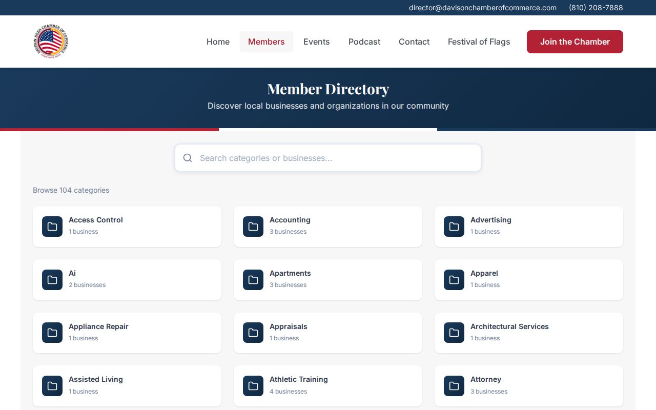
Use a listing as a public organizational contact, not as evidence that a person lives on the block.
Safety Searches for Davison Township Neighbors
For a narrowly defined public-safety question, Michigan's Public Sex Offender Registry has separate name or number and neighborhood search modes. The neighborhood search accepts a street address with city, county, or ZIP information and offers .25, .5, 1, 2, and 5 mile radius options. The registry is a public notice under the Sex Offenders Registration Act, not a complete criminal-history record. Do not infer guilt beyond the published record or use it to threaten or harass anyone.
Michigan PSOR's neighborhood search is the official statewide form for a location-and-radius safety check.
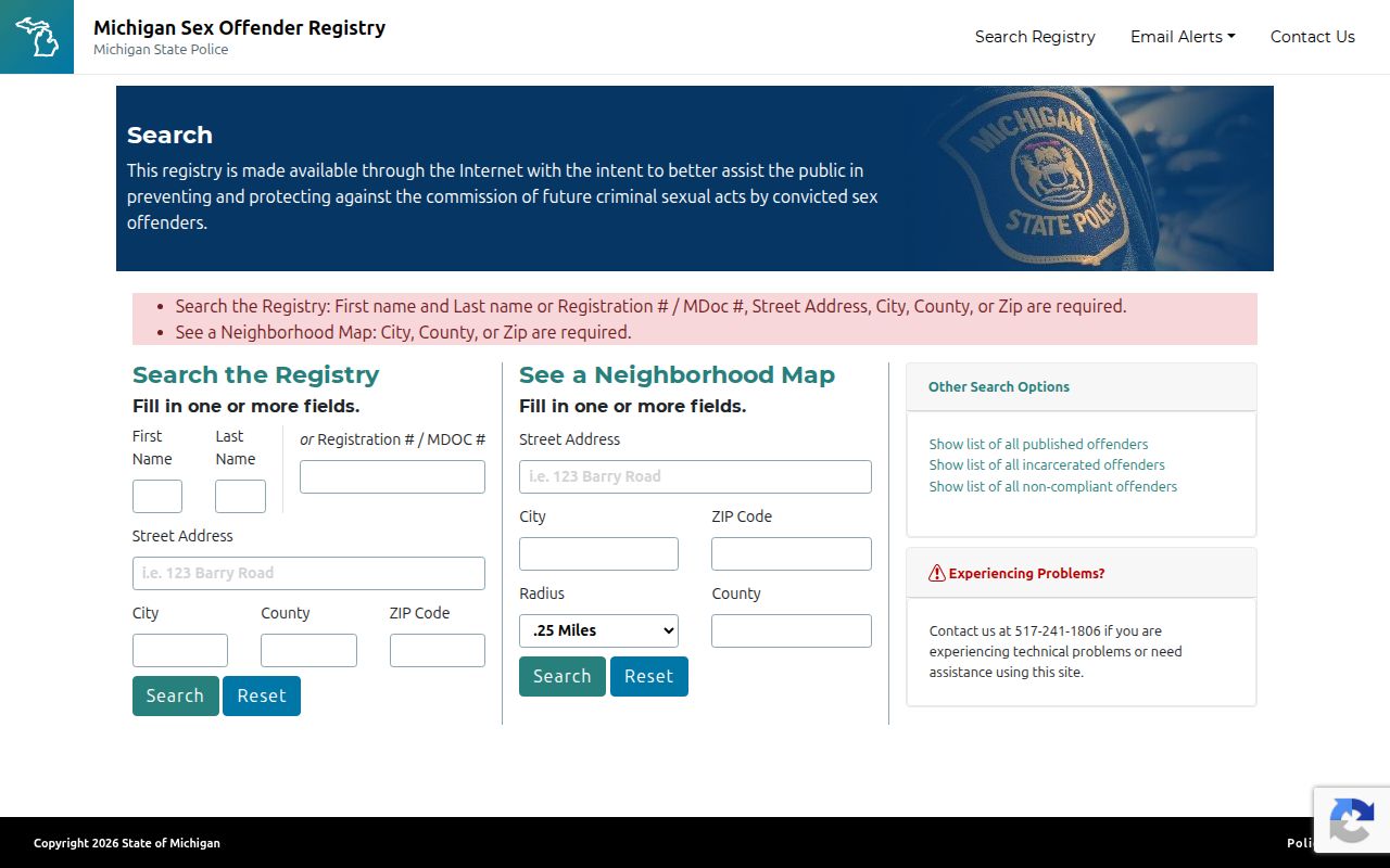
Search results are registry notices with their own legal limits, not a list of all people in a neighborhood.
Genesee County does not publish a county-run public jail roster in the research reviewed. For custody information, use the Genesee County Sheriff Corrections Division or call inmate information at 810-257-3426. The jail is at 1002 S. Saginaw Street in Flint. MDOC OTIS covers people in state prison, parole, probation, or within three years of supervision; it is not a county-jail search.
The Sheriff's Corrections Division page is the authoritative local custody contact when a public roster is unavailable.
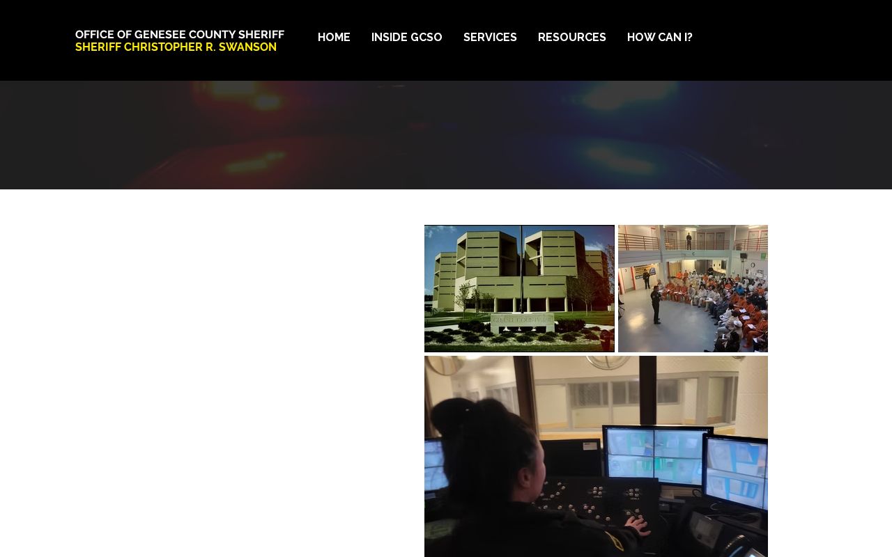
For a release or transfer notification, MI-VINE is the safer notification route; call 911 for an immediate danger.
Note: Public registry and custody sources answer separate questions and should not be combined into a broad label about a neighbor.
Official and Commercial Neighbor Sources
Official records and commercial neighbor-lookup products answer different questions. A commercial category can combine addresses, ownership, marketing data, and possible relationships from mixed datasets. Those products can join adjacent parcels incorrectly, omit occupants, or preserve old information. Start with a public custodian when accuracy, a date, or a correction matters. The comparison also helps keep a geographic map result from becoming an unsupported personal claim.
| Source category | Best use | Critical limit |
|---|---|---|
| Official GIS and assessor records | Parcel identity, geography, owner-of-record fields, and a dated public source | Owner is not automatically an occupant; live viewer fields remain partly unverified |
| Register of Deeds and directories | Dated ownership or historical address context | A deed party or directory entry is tied to its record date and role |
| Commercial neighbor tools | An unverified lead that can be checked with a custodian | Mixed inputs may be stale, conflated, incomplete, or wrongly associated |
For a reproducible block packet, number parcels clockwise and keep the source, date, and public role beside every item. Preserve a conflict rather than combining records until they look alike.
Note: Preserve the source and date beside each parcel result so an inaccurate association can be traced and corrected.
Davison Township Neighbors by the Numbers
Davison Township had 20,434 people in the 2020 census and 8,884 households in the 2020 to 2024 QuickFacts period. Those numbers give scale to a township that includes rural parcels, subdivisions, city-edge development, commercial areas, and public districts. They are not a current neighbor list. The same postal label may also cover different civil jurisdictions, which is why the parcel map and jurisdiction field remain more useful than a broad place-name match.
The local record trail crosses township offices, county offices in Flint, library collections, and statewide systems. A small block search should remain small: identify the parcel, verify the jurisdiction, request only the public field needed, and avoid collecting unrelated personal detail.
Privacy Limits for Davison Township Neighbor Lookups
Neighbor records have firm limits. Do not publish unverified phone numbers, protected addresses, private utility or customer information, or a claim that someone is a household member when the record only names an owner, agent, or applicant. Michigan's Address Confidentiality Program protects qualifying people at risk of physical harm through a designated address and mail-forwarding program. ACP voter applications are protected, and voter redactions also apply to sensitive fields.
A map can show shared geography. It cannot establish a relationship, consent to contact, or a reason to monitor another person. If a record conflicts with the intended identity, keep the conflict and ask the record custodian about correction. The lawful approach is to use the least information necessary for a personal, civic, family-history, or safety question.
Lawful use. Use Davison Township neighbor records for personal, lawful research, community context, or a properly scoped safety question. Repeated unwanted contact, harassment, or intimidation can violate Michigan stalking law, MCL 750.411h.